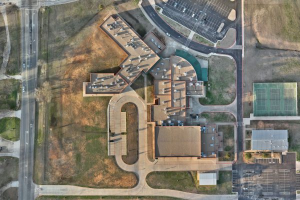
Mapping
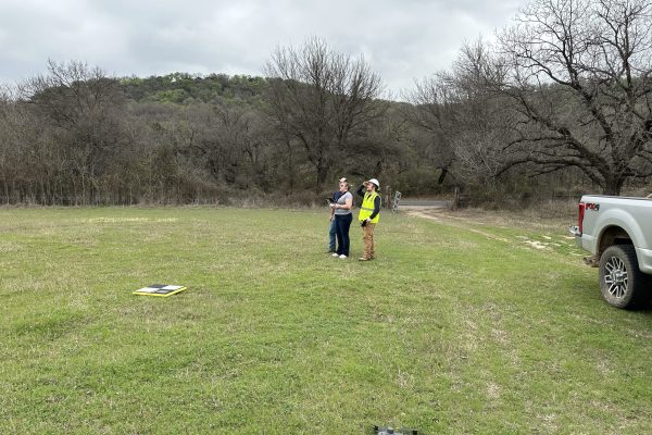
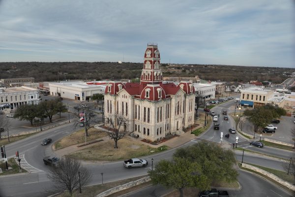
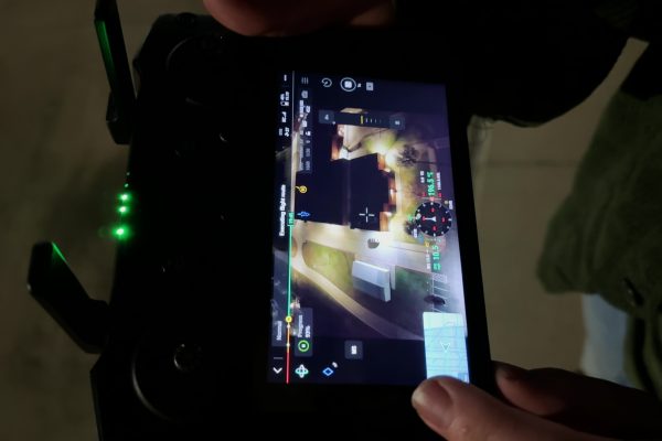
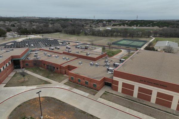
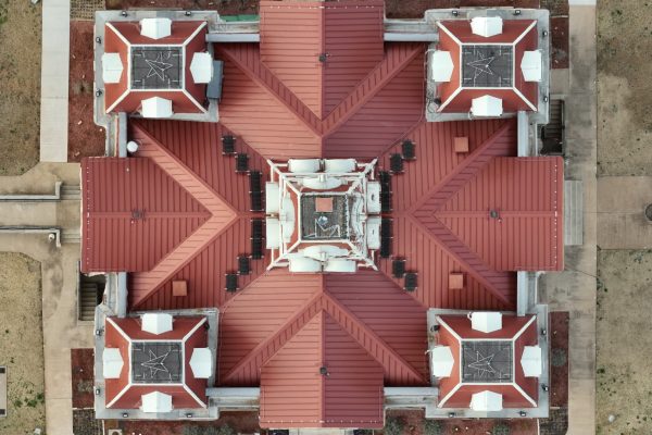
We've helped clients from all over, providing them with mapping jobs to fit their needs.
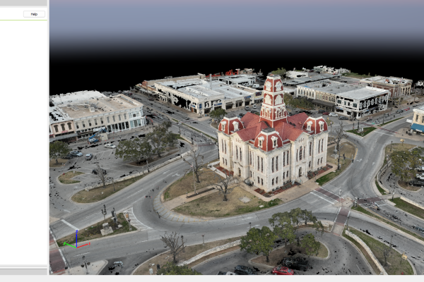
3D Modeling
Highly accurate specialized models that can be deployed for a variety of industries.
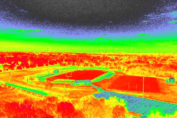
Multispectral, Farming, and Ecosystem Health
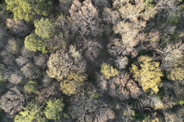
We analyze crops and plants with our multispectral imagers to let you know where to plant, water, fertilize, and sample.
Towers
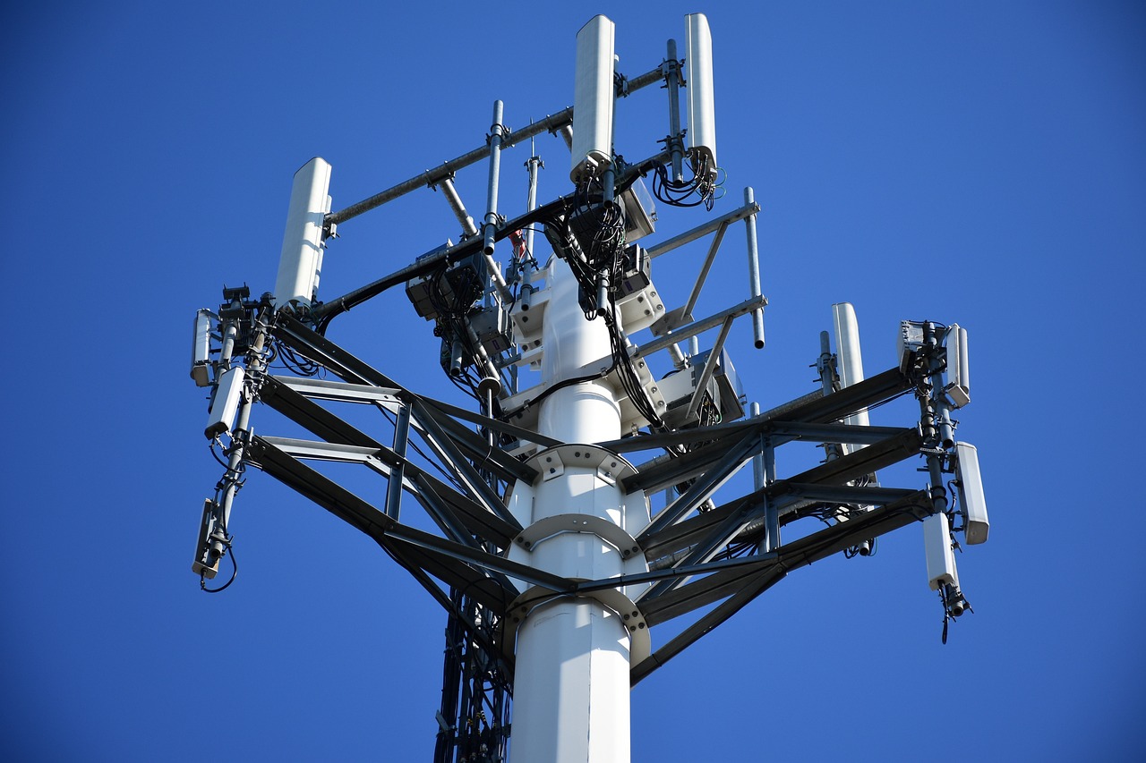
Our cutting-edge drones provide a safer, faster, and more cost-effective solution to traditional manual inspections. With high-resolution imaging and modeling, our drones deliver unparalleled accuracy and detail, allowing for thorough assessments without the risks and expenses associated with climbing.
Solar
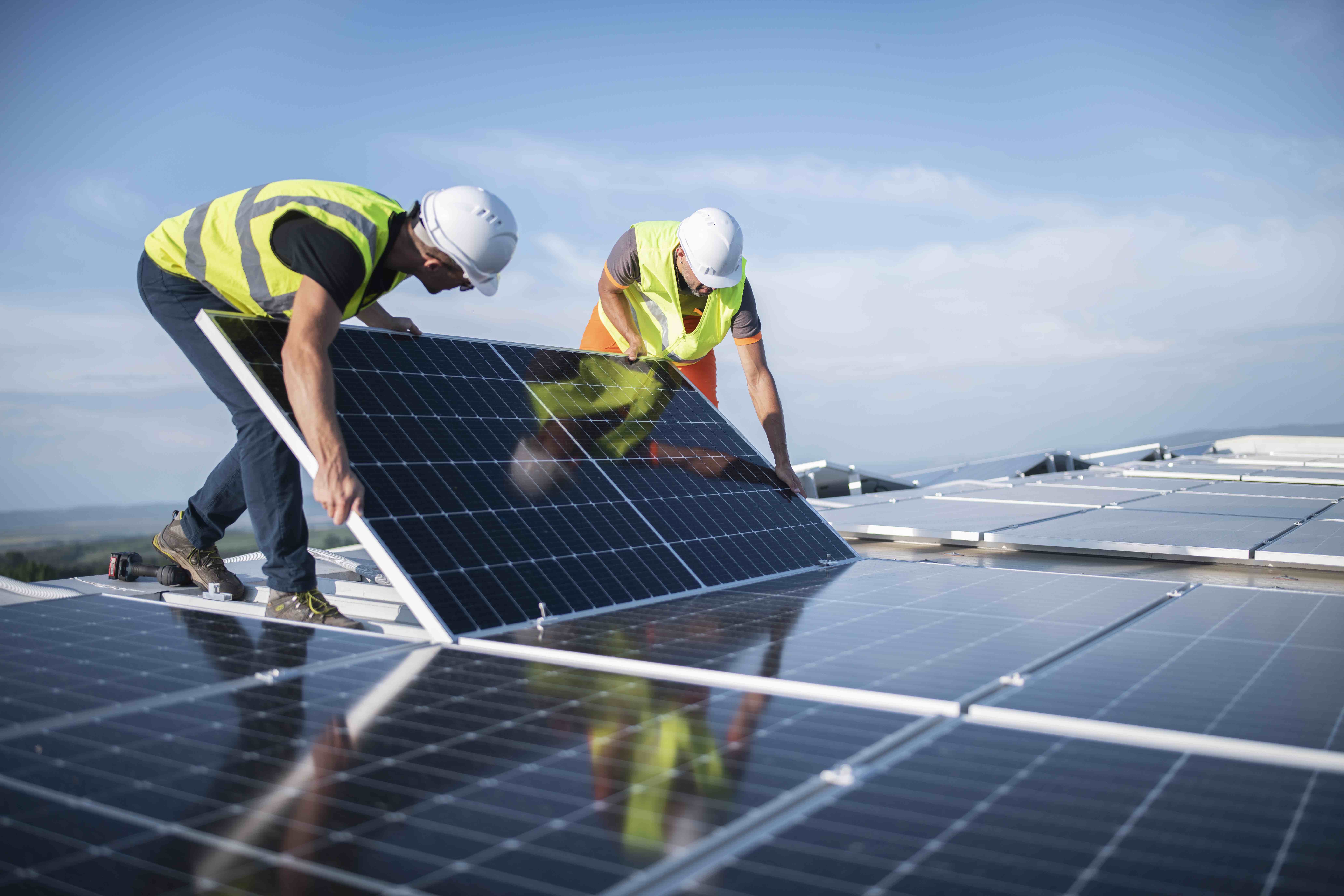
Our state-of-the-art drones are equipped with high-resolution cameras and thermal imaging technology, enabling precise and comprehensive inspections of solar arrays from the sky. This innovative approach eliminates the need for manual inspections, reducing downtime and risk to personnel while providing detailed insights into panel performance, potential defects, and efficiency issues.
Wind Turbines
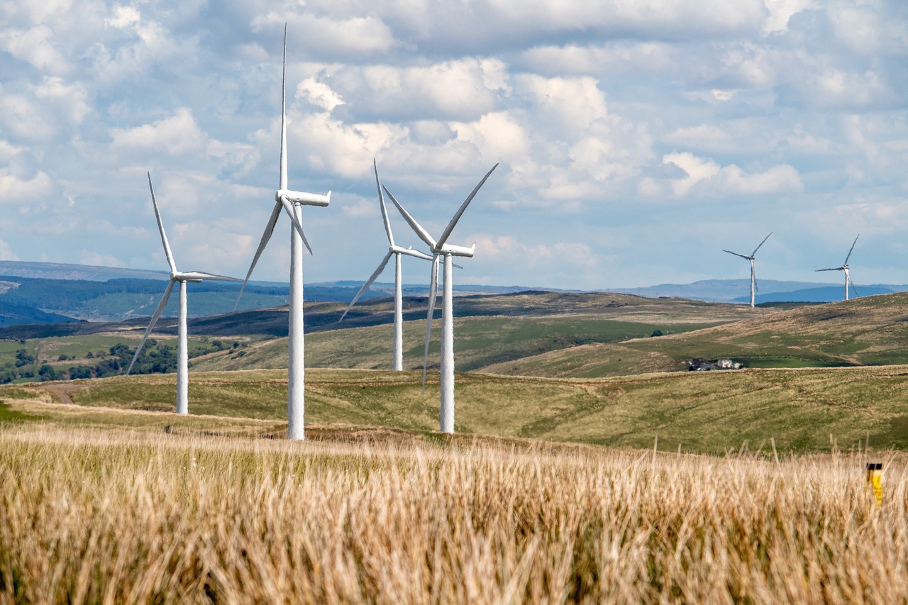
Our advanced drones, equipped with high-resolution cameras and sophisticated sensors, provide a comprehensive view of your wind turbines, from the towering blades to the intricate machinery within the nacelle. This aerial perspective not only enhances the precision of inspections but also significantly reduces the risks and costs associated with traditional climb-based methods.
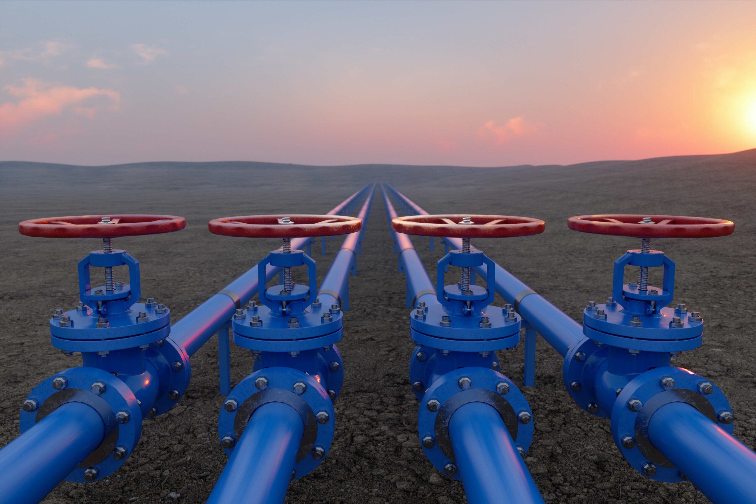
Oil and Gas
Our drones offer a comprehensive aerial inspection solution for pipelines, offshore platforms, and onshore facilities. This innovative approach enhances safety by significantly reducing the need for personnel to access hazardous or hard-to-reach areas, minimizing exposure to potential risks and majorly minimizing costs.
